Russians to look for oil in Spitsbergen waters
The Russian state is stepping up geological exploration in Arctic waters. Next year, geological mapping will be conducted in a number of new sites in the Arctic, including in waters west of the Spitsbergen archipelago.
Russia will next year allocate 2,6 billion RUB for geological exploration on the country’s continental shelf, which up 160 percent from this year. A total of 34 areas will be mapped, the Russian Agency of Sub-soil Resources (Rosnedra) confirms in a press release.
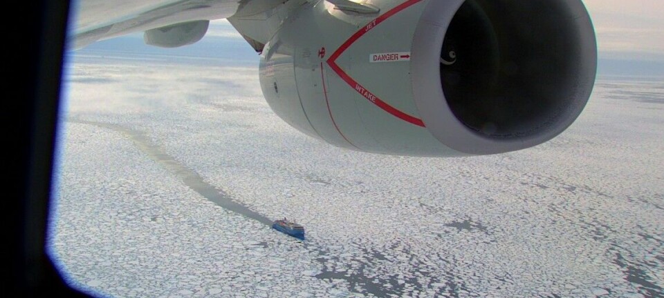
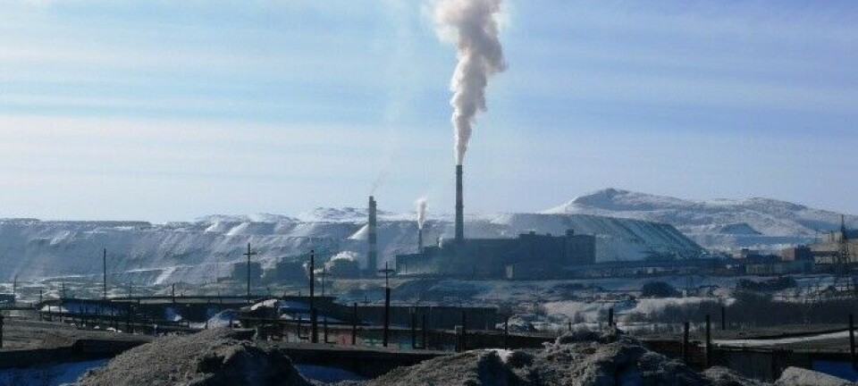
The by far biggest part of the geological mapping will be conducted in the Arctic, and first of all in the Barents Sea, the Kara Sea and the Pechora Sea.
Among the structures to be closer mapped are the Pineginskie structures in the Barents Sea and the Ushakov-Novozemelskie structures stretching from the northern parts of the Barents Sea to the Kara Sea, Murman.ru reports.
In addition, Russia will also study the waters west of Spitsbergen, a move which is expected to arouse concern in Oslo, which claims sovereignty over the Spitsbergen continental shelf.
According to Rosnedra, also the studying of the Murmanskaya and Trubyachinskaya structures in the Barents Sea will be continued in 2009. This year, Rosnedra spends 1 billion RUB on the mapping of 26 objects located in the Barents and Kara Seas, the Okhotsk Sea and the Bering Sea.